Drawing on our Our Place: Acomb & Westfield research, Duncan Marks reveals how war, housing shortages and ambitious planning transformed fields into suburbs – and how traces of those earlier landscapes still survive today.
Housing is rarely out of the news. Locally, York adopted a Local Plan in 2025 – the city’s first comprehensive development framework since 1956. It sets out where future growth will take place, planning for over 800 new homes each year. Nationally, the housing shortage remains a major political issue, with the Government aiming to deliver 1.5 million homes during this Parliament and exploring a new generation of towns.
Yet this is not the first time York has faced a housing challenge on such a scale.
Much of the York we know today was shaped by the housing pressures of the 1920-60s. The estates of Tang Hall, Clifton, Acomb, Westfield, Kingsway and Carr Lane tell stories of how the city responded to crisis and change.
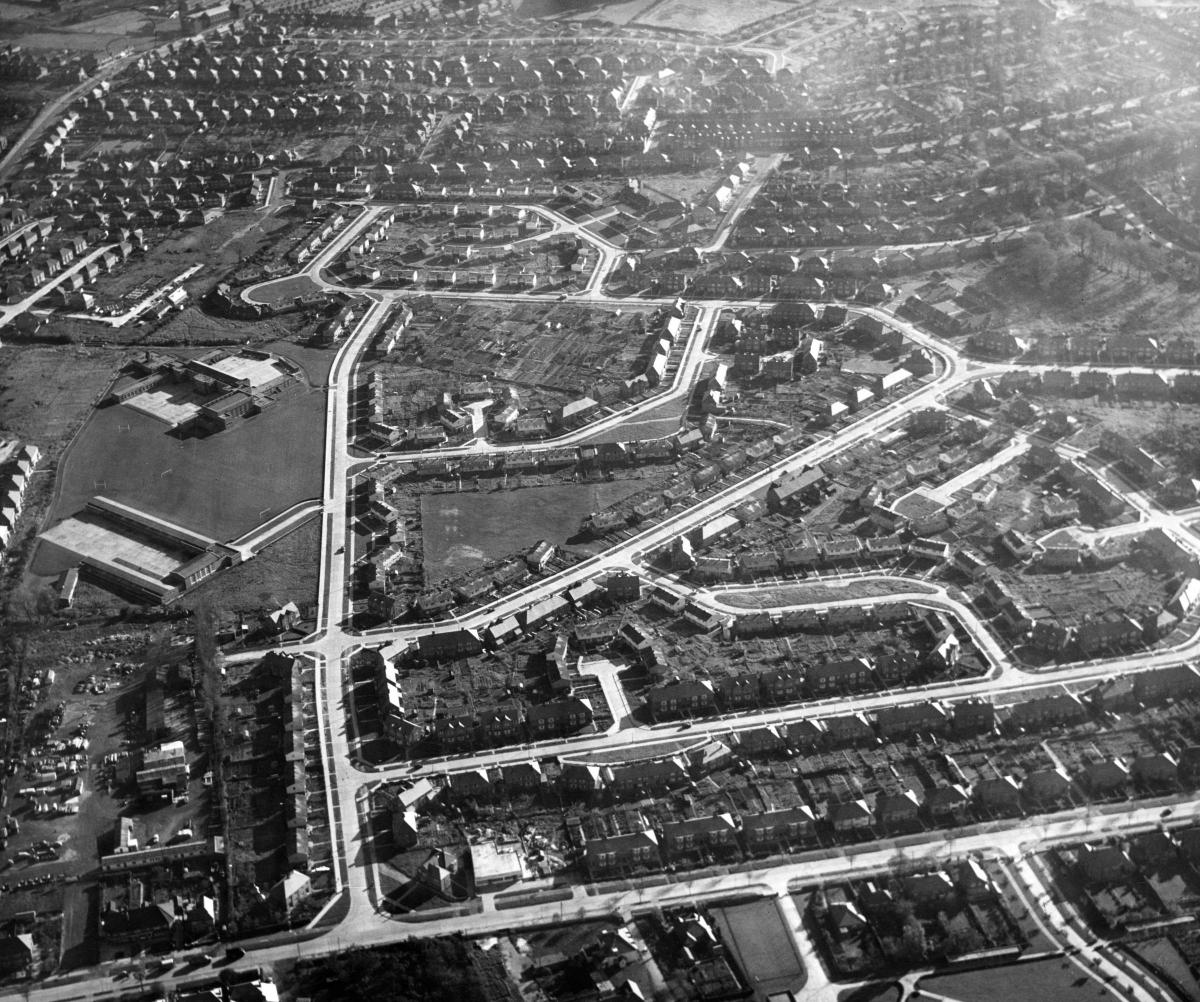
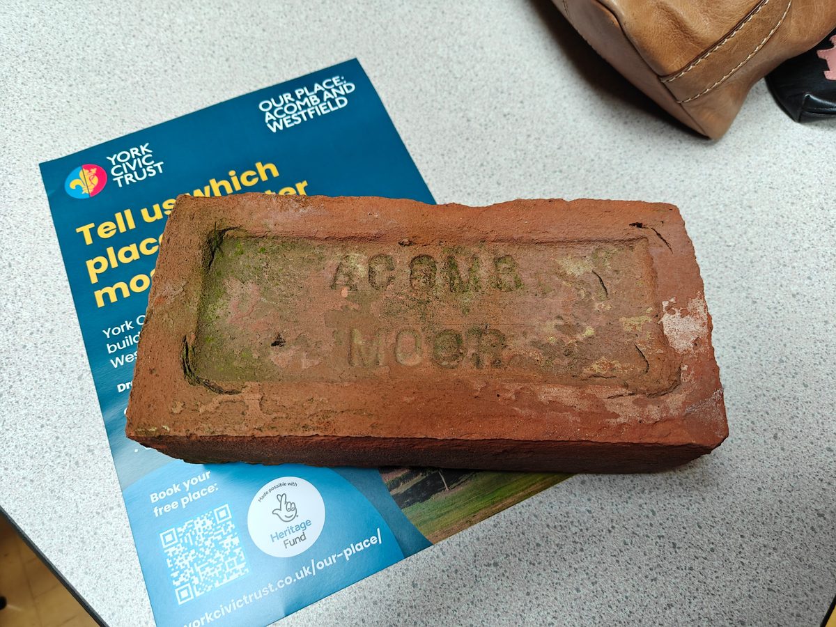
Through York Civic Trust’s National Lottery Heritage Fund-supported ‘Our Place: Acomb and Westfield’ project, we’ve been working with local communities to uncover these stories and reveal connections between present and past.
The Second World War intensified an already serious housing shortage. Eleven Luftwaffe air raids left one in four York homes damaged. During the interwar years, clearance of unsanitary housing in areas such as Hungate and Walmgate had already prompted the development of estates including Tang Hall and Clifton. By 1945, the need for housing was greater than ever before.
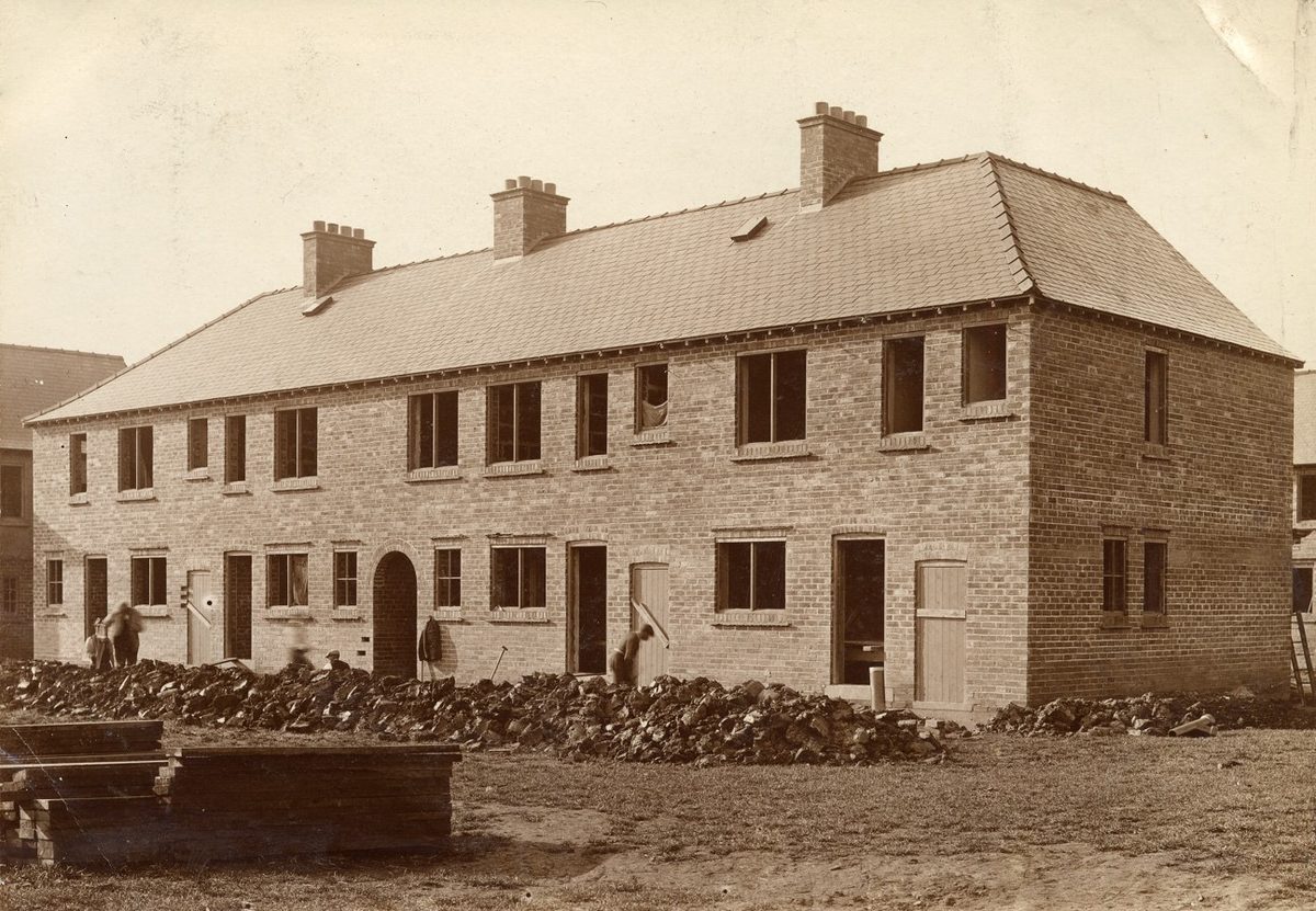
Among those pressing for action was Edna Annie Crichton, York’s first female Lord Mayor and long-serving councillor, whose advocacy for better housing helped shape the city’s response to overcrowding and poor living conditions. Today, York Civic Trust commemorates her contribution with a blue plaque in Clifton.
Aerial photographs from the late 1940s reveal extensive temporary housing on what were then the edges of York. Rows of prefabricated huts occupied land in Acomb, Westfield and elsewhere, even appearing near the city walls at Walmgate. Remarkably, many of today’s streets follow layouts established for these temporary settlements.
Many families rehoused in York’s suburbs were descendants of Irish migrants who came to the city during and after the 1840s Great Hunger. Their presence is reflected in the mid-century Catholic churches that became landmarks in communities such as Acomb, Westfield, Kingsway North, and Tang Hall.
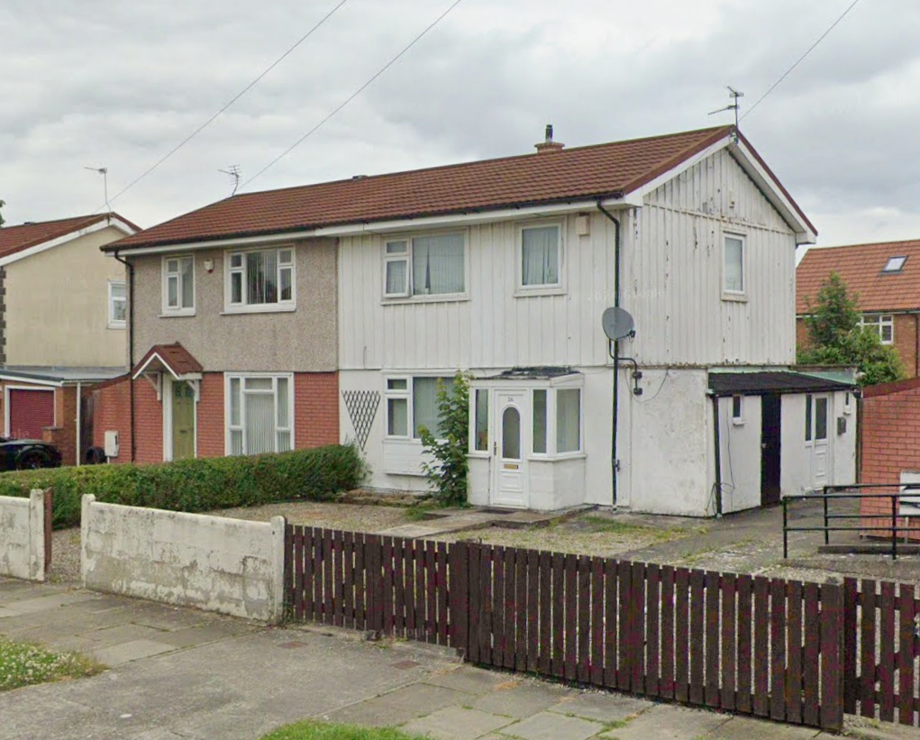
Post-war shortages of labour and materials also left their mark. Like many British cities, York embraced prefab construction methods. Much of the Carr Lane estate was built using steel-framed housing systems designed for rapid construction. Although later cladding and reroofing have altered their appearance, many homes still retain their original steel skeletons.
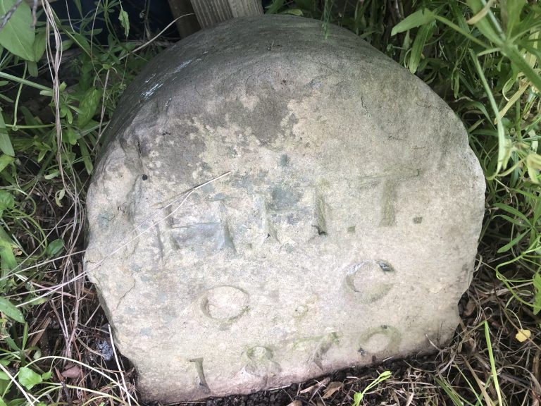
Traces of the earlier landscape can still be found. An 1870 boundary marker stone survives in the grass verge at the junction of 4th Avenue and 6th Avenue in Tang Hall. It reminds us that this was once a patchwork of fields, farms and grand houses nestling beyond the city.
The transition from countryside to suburb remains visible in the alignment of roads, boundaries and green spaces. Former fields became streets, while ancient hedges, footpaths and drainage ditches helped shape development plots.
Place and street names reveal even more. Westfield, Chapelfields, Beckfield and Lowfields preserve the area’s agricultural origins. Foxwood recalls a landscape associated with wildlife and foxhunting, and the influence of the York and Ainsty Hunt is evident in street names such as Beagle Ridge Drive and Huntsman’s Walk.
Some people view twentieth-century housing estates as detached from York’s historic identity. Yet many were designed to strengthen connections with the wider city. In Tang Hall, streets honour figures from York’s past, including Constantine, Etty, Flaxman, Alcuin and Tuke – emperor, artist, sculptor, scholar and philanthropist respectively. Carr Lane similarly references York’s Scandinavian heritage through names such as Viking Road, Jute Road and Tostig Avenue.
Dijon Avenue reflects a more modern story – York’s twinning with Dijon in 1953, commemorated through street names of expanding housing in Acomb during the early 1960s.
Some estate layouts reflect ambitious thinking about York’s future. The wide boulevards of Kingsway North and Kingsway West were intended to form part of a 1930s outer ring road. The scheme was never completed, but the oversized carriageways and roundabout near the Clockhouse pub – built in anticipation of passing trade, alongside the now-demolished Imperial at Kingsway North – remain.
These estates are more than collections of everyday houses. They tell us about York’s response to war, poverty and population growth. As York once again focuses on housebuilding, the story of its twentieth-century suburbs reminds us that today’s developments will become tomorrow’s heritage.
Link to ‘Our Place: Acomb & Westfield’: https://yorkcivictrust.co.uk/our-place/